Translation and analysis of words by artificial intelligence
On this page you can get a detailed analysis of a word or phrase, produced by the best artificial intelligence technology to date:
- how the word is used
- frequency of use
- it is used more often in oral or written speech
- word translation options
- usage examples (several phrases with translation)
- etymology
omnidirectional range - translation to russian


![CDI]]](https://commons.wikimedia.org/wiki/Special:FilePath/Vor.gif?width=200 "CDI]]")

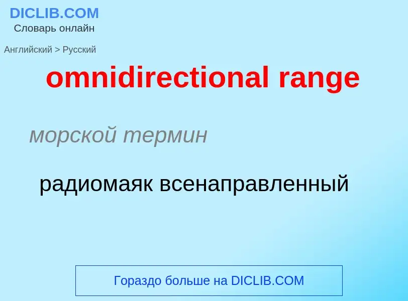
морской термин
радиомаяк всенаправленный

![Baby free range [[chicken]] in the hand of a person in [[Ishwarganj Upazila]], [[Mymensingh]], [[Bangladesh]]](https://commons.wikimedia.org/wiki/Special:FilePath/Baby Chicken in Ishawarganj, Mymensingh, Bangladesh.jpg?width=200 "Baby free range [[chicken]] in the hand of a person in [[Ishwarganj Upazila]], [[Mymensingh]], [[Bangladesh]]")
![Small-scale free range farming in the [[Northern Black Forest]]](https://commons.wikimedia.org/wiki/Special:FilePath/Busenbach Freilandhaltung-Hühner.jpg?width=200 "Small-scale free range farming in the [[Northern Black Forest]]")

![Free range ducks in [[Hainan]] Province, China](https://commons.wikimedia.org/wiki/Special:FilePath/Duck farm in Hainan 02.jpg?width=200 "Free range ducks in [[Hainan]] Province, China")
![geese]] in Germany](https://commons.wikimedia.org/wiki/Special:FilePath/Kirbachhof Gaense.jpg?width=200 "geese]] in Germany")

[fri:'reindʒ]
прилагательное
сельское хозяйство
находящийся на свободном выгуле
Definition
Wikipedia

Very high frequency omni-directional station (VOR) is a type of short-range radio navigation system for aircraft, enabling aircraft with a receiving unit to determine its position and stay on course by receiving radio signals transmitted by a network of fixed ground radio beacons. It uses frequencies in the very high frequency (VHF) band from 108.00 to 117.95 MHz. Developed in the United States beginning in 1937 and deployed by 1946, VOR became the standard air navigational system in the world, used by both commercial and general aviation, until supplanted by satellite navigation systems such as GPS in the early 21st century. As such, VOR stations are being gradually decommissioned. In 2000 there were about 3,000 VOR stations operating around the world, including 1,033 in the US, but by 2013 the number in the US had been reduced to 967. The United States is decommissioning approximately half of its VOR stations and other legacy navigation aids as part of a move to performance-based navigation, while still retaining a "Minimum Operational Network" of VOR stations as a backup to GPS. In 2015, the UK planned to reduce the number of stations from 44 to 19 by 2020.
A VOR ground station uses a specialized antenna system to transmit both an amplitude modulated and a frequency modulated signal. Both modulations are done with a 30 Hz signal, but the phase is different. The phase of one of the modulation signals is dependent on the direction of transmission, while the phase of the other modulation signal is not, in order to serve as a reference. The receiver will demodulate both signals, and measure the phase difference. The phase difference is indicative of the bearing from the VOR station to the receiver relative to magnetic north. This line of position is called the VOR "radial".
The intersection of radials from two different VOR stations can be used to fix the position of the aircraft, as in earlier radio direction finding (RDF) systems.
VOR stations are fairly short range: the signals are line-of-sight between transmitter and receiver and are useful for up to 200 nautical miles (370 kilometres). Each station broadcasts a VHF radio composite signal including the mentioned navigation and reference signal, station's identifier and voice, if so equipped. The station's identifier is typically a three-letter string in Morse code. The voice signal, if used, is usually the station name, in-flight recorded advisories, or live flight service broadcasts.
A VORTAC is a radio-based navigational aid for aircraft pilots consisting of a co-located VHF omnidirectional range and a tactical air navigation system (TACAN) beacon. Both types of beacons provide pilots azimuth information, but the VOR system is generally used by civil aircraft and the TACAN system by military aircraft. However, the TACAN distance measuring equipment is also used for civil purposes because civil DME equipment is built to match the military DME specifications. Most VOR installations in the United States are VORTACs. The system was designed and developed by the Cardion Corporation. The Research, Development, Test, and Evaluation (RDT&E) contract was awarded 28 December 1981.